Export SpatialPolygons object as S-Plus map for WinBUGS
sp2WB.RdThe function exports an sp SpatialPolygons object into a S-Plus map format to be import by WinBUGS.
sp2WB(map, filename, Xscale = 1, Yscale = Xscale, plotorder = FALSE)Arguments
- map
a SpatialPolygons object
- filename
file where output is written
- Xscale, Yscale
scales to be written in the output file
- plotorder
default=FALSE, if TRUE, export polygons in plotting order
Examples
xx <- readShapePoly(system.file("shapes/sids.shp", package="maptools")[1],
IDvar="FIPSNO", proj4string=CRS("+proj=longlat +ellps=clrk66"))
#> Warning: shapelib support is provided by GDAL through the sf and terra packages among others
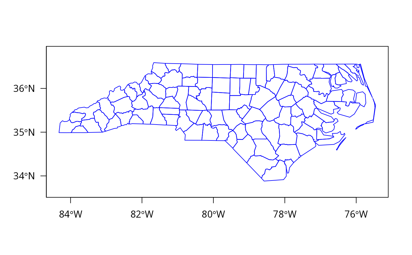
plot(xx, border="blue", axes=TRUE, las=1)
 tf <- tempfile()
sp2WB(as(xx, "SpatialPolygons"), filename=tf)
xxx <- readSplus(tf, proj4string=CRS("+proj=longlat +ellps=clrk66"))
all.equal(xxx, as(xx, "SpatialPolygons"), tolerance=.Machine$double.eps^(1/4),
check.attributes=FALSE)
#> [1] "Names: 100 string mismatches"
if (FALSE) {
x <- readAsciiGrid(system.file("grids/test.ag", package="maptools")[1])
xp <- as(x, "SpatialPixelsDataFrame")
pp <- as(xp, "SpatialPolygons")
td <- tempdir()
sp2WB(pp, filename=file.path(td, "test.map"))
}
tf <- tempfile()
sp2WB(as(xx, "SpatialPolygons"), filename=tf)
xxx <- readSplus(tf, proj4string=CRS("+proj=longlat +ellps=clrk66"))
all.equal(xxx, as(xx, "SpatialPolygons"), tolerance=.Machine$double.eps^(1/4),
check.attributes=FALSE)
#> [1] "Names: 100 string mismatches"
if (FALSE) {
x <- readAsciiGrid(system.file("grids/test.ag", package="maptools")[1])
xp <- as(x, "SpatialPixelsDataFrame")
pp <- as(xp, "SpatialPolygons")
td <- tempdir()
sp2WB(pp, filename=file.path(td, "test.map"))
}