Convert map objects to sp classes
map2SpatialPolygons.RdThese functions may be used to convert map objects returned by the map function in the maps package to suitable objects defined in the sp package. In the examples below, arguments are shown for retrieving first polygons by name, then lines by window.
map2SpatialPolygons(map, IDs, proj4string = CRS(as.character(NA)), checkHoles=FALSE)
map2SpatialLines(map, IDs=NULL, proj4string = CRS(as.character(NA)))
pruneMap(map, xlim=NULL, ylim=NULL)
Arguments
- map
a map object defined in the maps package and returned by the map function
- IDs
Unique character ID values for each output Polygons object; the input IDs can be an integer or character vector with duplicates, where the duplicates will be combined as a single output Polygons object
- proj4string
Object of class
"CRS"; holding a valid proj4 string- checkHoles
default=FALSE, if TRUE call
checkPolygonsHolesinternally to check hole assignment, (by default no polygon objects are holes)- xlim,ylim
limits for pruning a map object - should only be used for lines, because polygons will not be closed
Details
Any zero area output geometries are dropped, and warnings are issued.
Value
map2SpatialPolygons returns a SpatialPolygons object and map2SpatialLines returns a SpatialLines object (objects defined in the sp package); pruneMap returns a modified map object defined in the maps package
Note
As the examples show, retrieval by name should be checked to see whether a window is not also needed: the "norway" polygons include "Norway:Bouvet Island", which is in the South Atlantic. Here, the IDs argument is set uniformly to "Norway" for all the component polygons, so that the output object contains a single Polygons object with multiple component Polygon objects. When retrieving by window, pruning may be needed on lines which are included because they begin within the window; interior=FALSE is used to remove country boundaries in this case.
See also
Examples
run <- FALSE
if(require(maps)) run <- TRUE
if (run) {
nor_coast_poly <- map("world", "norway", fill=TRUE, col="transparent",
plot=FALSE)
range(nor_coast_poly$x, na.rm=TRUE)
}
#> [1] -9.098877 33.629295
if (run) {
range(nor_coast_poly$y, na.rm=TRUE)
}
#> [1] 58.02095 80.47783
if (run) {
nor_coast_poly <- map("world", "norway", fill=TRUE, col="transparent",
plot=FALSE, ylim=c(58,72))
nor_coast_poly$names
}
#> [1] "Norway:1" "Norway:2" "Norway:Smola"
#> [4] "Norway:Froya" "Norway:5" "Norway:6"
#> [7] "Norway:7" "Norway:8" "Norway:Moskenesoya"
#> [10] "Norway:Vestvagoy" "Norway:Langoya" "Norway:Hinnoya"
#> [13] "Norway:Senja" "Norway:14" "Norway:Arnoy"
#> [16] "Norway:16" "Norway:Vannoy" "Norway:Seiland"
#> [19] "Norway:Kvaloya" "Norway:Soroya" "Norway"
#> [22] "Norway:Mageroya" "Norway:Jan Mayen"
if (run) {
IDs <- sapply(strsplit(nor_coast_poly$names, ":"), function(x) x[1])
}
if (run) {
nor_coast_poly_sp <- map2SpatialPolygons(nor_coast_poly, IDs=IDs,
proj4string=CRS("+proj=longlat +datum=WGS84"))
sapply(slot(nor_coast_poly_sp, "polygons"),
function(x) length(slot(x, "Polygons")))
}
#> [1] 23
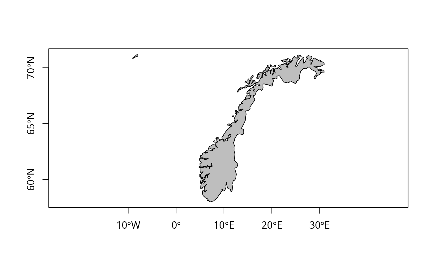
if (run) {
plot(nor_coast_poly_sp, col="grey", axes=TRUE)
}
 if (run) {
nor_coast_lines <- map("world", interior=FALSE, plot=FALSE, xlim=c(4,32),
ylim=c(58,72))
plot(nor_coast_lines, type="l")
}
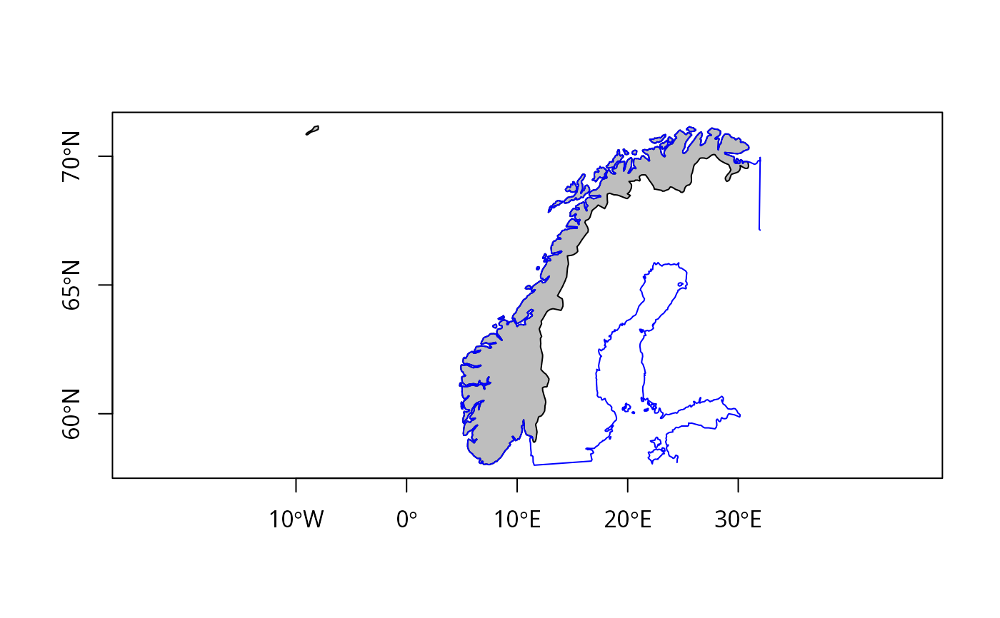
if (run) {
nor_coast_lines <- pruneMap(nor_coast_lines, xlim=c(4,32), ylim=c(58,72))
lines(nor_coast_lines, col="red")
nor_coast_lines_sp <- map2SpatialLines(nor_coast_lines,
proj4string=CRS("+proj=longlat +datum=WGS84"))
plot(nor_coast_poly_sp, col="grey", axes=TRUE)
}
if (run) {
nor_coast_lines <- map("world", interior=FALSE, plot=FALSE, xlim=c(4,32),
ylim=c(58,72))
plot(nor_coast_lines, type="l")
}
if (run) {
nor_coast_lines <- pruneMap(nor_coast_lines, xlim=c(4,32), ylim=c(58,72))
lines(nor_coast_lines, col="red")
nor_coast_lines_sp <- map2SpatialLines(nor_coast_lines,
proj4string=CRS("+proj=longlat +datum=WGS84"))
plot(nor_coast_poly_sp, col="grey", axes=TRUE)
}
 if (run) {
plot(nor_coast_lines_sp, col="blue", add=TRUE)
}
if (run) {
plot(nor_coast_lines_sp, col="blue", add=TRUE)
}
 if (run) {
worldmap <- map("world", fill=TRUE, plot=FALSE)
worldmapPolys <- map2SpatialPolygons(worldmap,
IDs=sapply(strsplit(worldmap$names, ":"), "[", 1L),
proj4string=CRS("+proj=longlat +datum=WGS84"))
if (rgeosStatus()) {
require(rgeos)
vals <- rgeos::gIsValid(worldmapPolys, byid=TRUE, reason=TRUE)
print(table(sapply(strsplit(vals, "\\["), "[", 1)))
}
}
#> Loading required package: rgeos
#> rgeos version: 0.6-2, (SVN revision 693)
#> GEOS runtime version: 3.11.2-CAPI-1.17.2
#> Please note that rgeos will be retired during 2023,
#> plan transition to sf functions using GEOS at your earliest convenience.
#> GEOS using OverlayNG
#> Linking to sp version: 1.6-0
#> Polygon checking: TRUE
#>
#> Nested shells Self-intersection Valid Geometry
#> 8 6 239
if (run) {
worldmap <- map("world", fill=TRUE, plot=FALSE)
worldmapPolys <- map2SpatialPolygons(worldmap,
IDs=sapply(strsplit(worldmap$names, ":"), "[", 1L),
proj4string=CRS("+proj=longlat +datum=WGS84"))
if (rgeosStatus()) {
require(rgeos)
vals <- rgeos::gIsValid(worldmapPolys, byid=TRUE, reason=TRUE)
print(table(sapply(strsplit(vals, "\\["), "[", 1)))
}
}
#> Loading required package: rgeos
#> rgeos version: 0.6-2, (SVN revision 693)
#> GEOS runtime version: 3.11.2-CAPI-1.17.2
#> Please note that rgeos will be retired during 2023,
#> plan transition to sf functions using GEOS at your earliest convenience.
#> GEOS using OverlayNG
#> Linking to sp version: 1.6-0
#> Polygon checking: TRUE
#>
#> Nested shells Self-intersection Valid Geometry
#> 8 6 239